Posts tagged xarray
Xarray at Large Scale: A Beginner’s Guide
- 21 December 2023
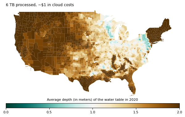
You don’t need to be a distributed systems expert to process terabytes of geospatial data. The tools today are good enough to make this accessible to everyone, but most people still stay on a single computer, even though it’s often more expensive.
Processing a 250 TB dataset with Coiled, Dask, and Xarray
- 05 September 2023
We processed 250TB of geospatial cloud data in twenty minutes on the cloud with Xarray, Dask, and Coiled. We do this to demonstrate scale and to think about costs.
